
Contact Us Today
-
Contact Us Today -
501-232-7327
info@landwardsurveying.com
103 Christina Ln, Beebe, AR 72012
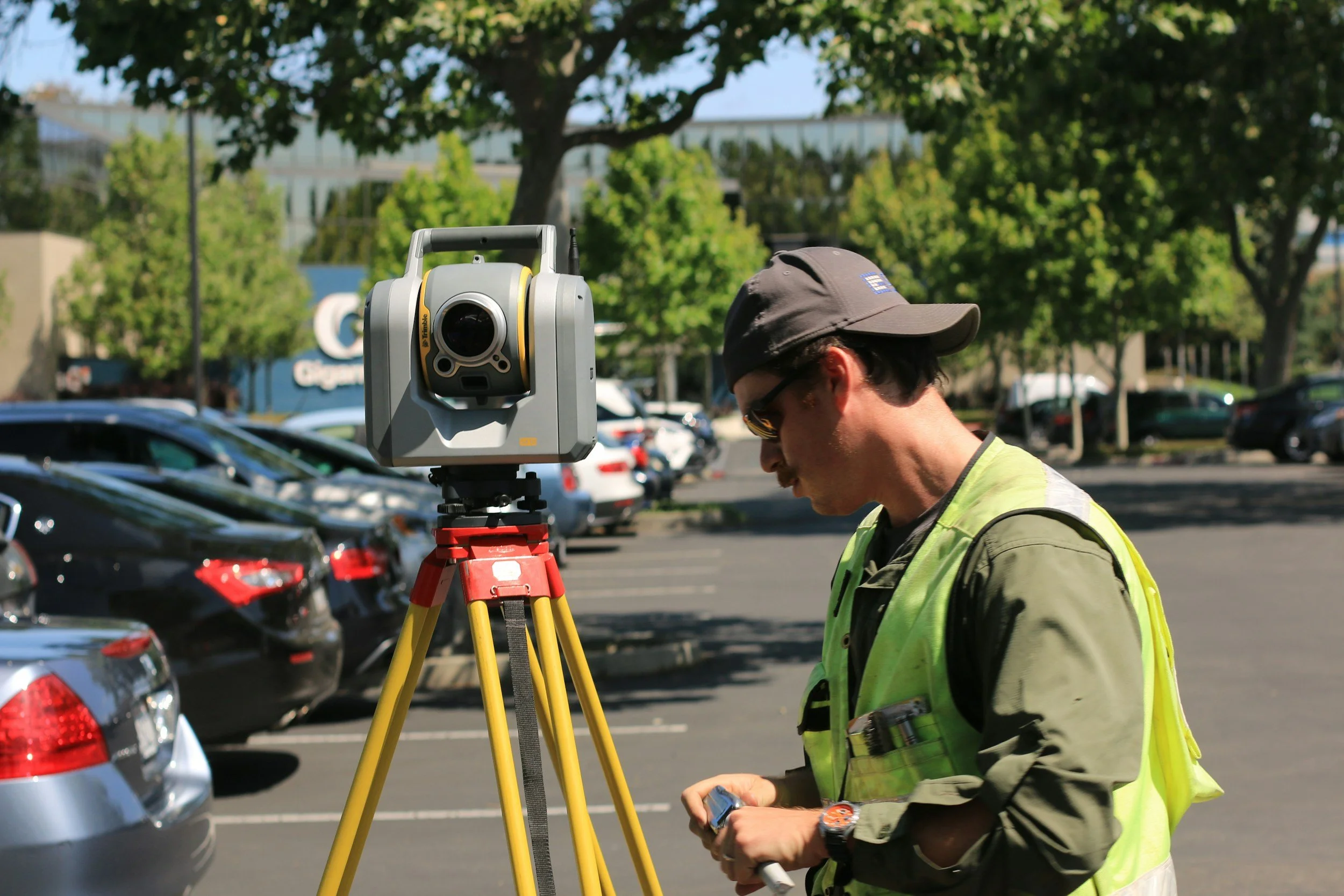
OUR SERVICES

A boundary survey re-establishes a property’s boundaries on the ground, typically in the form of boundary monuments at the property corners. You may need a boundary survey before buying, selling, dividing, building on, or improving land, or if you have a boundary dispute with a neighboring property owner. When a boundary survey is completed, the surveyor will provide a plat/map of the survey.
Boundary Surveys

A topographic survey measures vertical relief (elevation differences) of the ground surface, as well as the location of natural and artificial (man-made) objects. You may need a topographic survey if an engineer or architect is designing something for you. Usually, a boundary survey will also be needed. When a topographic survey is completed, the surveyor will provide a plat/map of the survey showing contour lines and other relevant data, and the surveyor will provide a drawing file that your engineer or architect can use in their design.
Topographic Surveys
ALTA/NSPS Land Title Surveys
An ALTA survey is a specialized and highly detailed type of survey, adhering to strict national standards set by the American Land Title Association (ALTA) and the National Society of Professional Surveyors (NSPS). An ALTA survey is generally used in the transfer of ownership of commercial property, and it is often required by the lender, the title insurance company, or the buyer. It is used to verify property boundaries, detail existing improvements, and identify potential risks. Before the surveyor can provide an accurate quote for an ALTA survey, they will need to know which of the optional “Table A” items will be required. When an ALTA survey is completed, the surveyor will provide a plat/map of the survey, in accordance with the ALTA/NSPS standards.

An elevation certificate is an official FEMA document that records a building's elevation, location, flood zone, and structural characteristics. It compares the lowest floor height to the Base Flood Elevation (BFE). These certificates are crucial for assessing flood risk, determining flood insurance premiums, and verifying compliance with local floodplain management ordinances.
Elevation Certificates

Easement Exhibits & Descriptions
An easement is a right to use someone else’s land for a specific limited purpose. Examples include access, ingress/egress, and utility easements. Similar to a legal description in a deed, an easement document should include a description of the easement. The easement document should also include an exhibit that depicts the easement’s location relative to the land/property upon which it is located.

A subdivision is land that is surveyed and divided. One of the most common examples is a residential subdivision where an undeveloped tract of land is divided into lots and streets. Other examples include commercial subdivisions, Planned Unit Developments (PUDs), tract/lot splits, etc. The controlling jurisdiction (city or county) typically has ordinances that outline the subdivision process and platting requirements. We also provide services for tract/lot combinations and tract/lot line adjustments.
Subdivisions & Platting

An as-built survey is completed after construction to document what was actually built or constructed, as compared to the design plans. It helps identify changes that were made during construction. What’s included in the survey will vary based on the construction project and based on specific requirements that are usually set by the city.
As-Built Surveys

A control survey provides precise horizontal and vertical positional data to support subsequent surveys, mapping, or construction projects. An example would be a survey of control points that were set to provide control for an aerial surveying or mapping project. Our services include setting the control points or control monuments, if needed.
Control Surveys

Construction staking, or construction layout, involves setting stakes, hubs and tacks, nails, or other survey markers to effectively communicate to contractors where improvements are to be constructed on site, based on the approved construction/design plans. In other words, it’s the process of transferring designed improvements from the plans onto the ground, at their precise locations.
Construction Staking
AND MORE!
Please contact us to discuss your specific needs.